Quand je trace, je pars non pas d’une feuille blanche mais de mon écran d’ordinateur qui affiche la France au 1/25 000ème. Il m’arrive parfois de chercher quelques traces partagées. Je peux aussi afficher Google Earth pour vérifier, au moins quand ce n’est pas en sous-bois, que le chemin existe toujours, c’est plus difficile sur un sentier ou une trace dans les herbes …
Je pars donc de cette ébauche pour ensuite aller prospecter sur le terrain, vérifier, cherche autre chose si ça ne passe plus « en direct » en jouant avec la carte qui défile sur l’écran de mon GPS …
C’est ce que nous avons fait ce matin avec Maurice (merci de ta compagnie) pour un « truc » en préparation … départ donc de Grenade et sa halle si pittoresque pour se balader par les chemins vers la Lomagne puis le Tarn et Garonne, ses vignes, ses plantations de fruitiers (kiwi et noisette notamment) : Launac et son château, Saint-Cézert, le Burgaud, Beaupuy et son château, Comberouger. Jour de canicule, pas de risques, nous sommes revenus à ce moment-là par la route vers Grenade (où nous nous sommes offerts 2 demis et deux sodas avec glaçons au Bar-Restaurant Les Zinzins du Zinc tenu par Alain et son équipe, nous n’avons pas testé la carte – l’ardoise – très appétissante) via Aucamville (où nous nous étions offerts 2 demis et deux sodas avec glaçons au sympathique Bar – Tabac – FDJ).
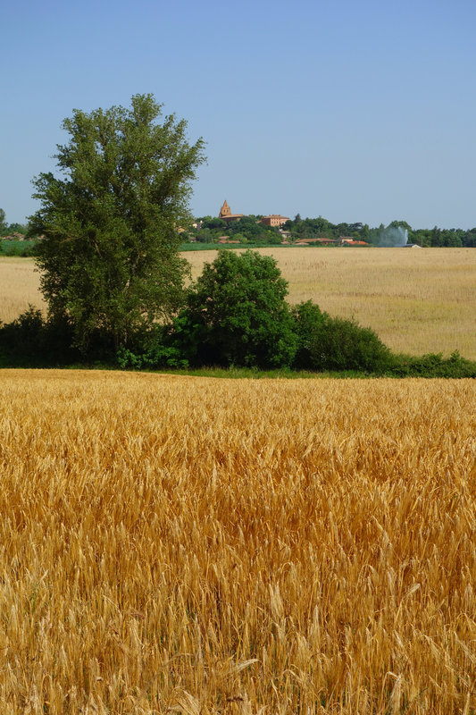
Launac
Chaleur et fort vent de Sud / Sud-Est. Suffisant pour aujourd’hui …
Le Burgaud
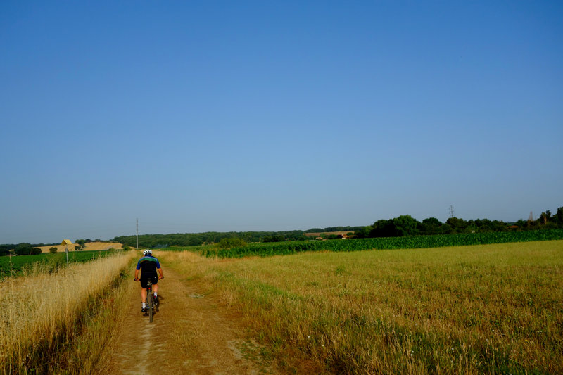
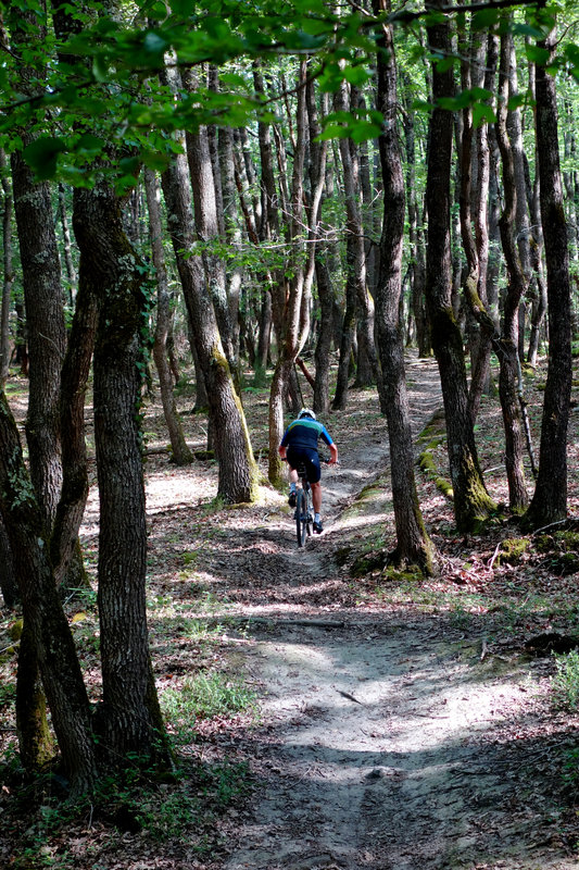
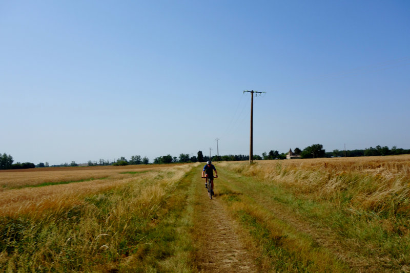
De belles pistes agricoles, en gravier ou en herbe (là le rendement est moindre), au soleil ou en sous-bois, des sentiers, des passages labellisés Ô Gravel, de la prospection. Nous avons dû faire quelques demi-tours ou passer en hors-piste.
La portion publiée sur Komoot va de Grenade à Comberouger. 87 km parcourus en tout.
Toute trace, même partagée, peut évoluer : les chemins peuvent ne plus être praticables, un chemin peut devenir privé … Il faut accepter aussi qu’elle plaise plus à certains qu’à d’autres ou qu’elle ne plaise pas, en tout cas celui qui la publie le fait pour partager une balade, des photos, il ne peut en aucun cas être tenu responsable de quoi que ce soit …
Attention aux chiens au Lieu-dit Sanset après Launac, le noir est gros, aboie beaucoup, peut impressionner mais n’est si courageux que ça.
Une bonne première ébauche donc, à retravailler pour trouver non pas La trace (ce serait prétentieux) mais Une belle trace …
Genesis of a trace: the « first draft » – Also in french
When I trace, I don’t start from a blank sheet of paper but from my computer screen which displays France at 1:25,000 scale. Sometimes I look for some shared tracks. I can also display Google Earth to check, at least when it is not in the undergrowth, that the path still exists, it is more difficult on a path or a trace in the grass …
So I start from this sketch and then go prospecting on the ground, check, look for something else if it doesn’t work « live » anymore by playing with the map that scrolls on the screen of my GPS…
This is what we did this morning with Maurice (thanks for your company) for a « trick » in preparation … departure from Grenade and its picturesque market to walk by the paths towards the Lomagne then the Tarn and Garonne, its vineyards, its plantations of fruit trees (kiwi and hazelnut in particular): Launac and its castle, Saint-Cézert, le Burgaud, Beaupuy and its castle, Comberouger. On a hot day, no risk, we returned by road to Grenada (where we had treated ourselves to two halves and two sodas on the rocks at the Bar-Restaurant Les Zinzins du Zinc run by Alain and his team, we did not test the very appetizing menu) via Aucamville (where we had treated ourselves to two halves and two sodas on the rocks at the friendly Bar – Tabac – FDJ).
Heat and strong South/Southeast wind. Enough for today…
Beautiful agricultural tracks, gravel or grass (there the output is less), in the sun or undergrowth, paths, passages labelled Ô Gravel, prospecting. Don’t get the track as it is: we had to make a few U-turns or go off-trail. The Grenade-Comberouger section will be published on Komoot.
Beaupuy
Any track, even shared, can evolve: the paths may no longer be practicable, a path may become private … It is also necessary to accept that it pleases some more than others, or that it does not, in any case the one who publishes it does it to share a walk, photos, he can in no way be held responsible for anything …
Beware of the dogs at Sanset after Launac, the black one is big, barks a lot, can impress but is not that brave
A good first draft therefore, to be reworked to find not The trace (that would be pretentious) but A beautiful trace …
Translated with www.DeepL.com/Translator (free version)


