Pour ceux qui me suivent (merci de votre fidélité) vous savez que je profite souvent de mes balades pour quitter l’itinéraire prévu pour prospecter quand je trouve une piste ou un sentier qui part par là ou par ici, j’ai nettoyé la (les) trace (traces) pour supprimer un passage un peu « galère » … Encore une fois bug ou mauvaise manip sur le GPS, la trace est coupée en deux … 18 km pour monter à Le Revest-les-Eaux et la suite après … Je publie le compte-rendu de la balade complète sur les deux traces. 75 km cumulés (moins sur la trace nettoyée) pour 1300 m de dénivelé positif cumulé …
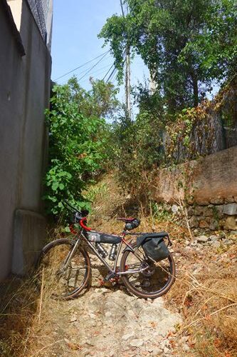
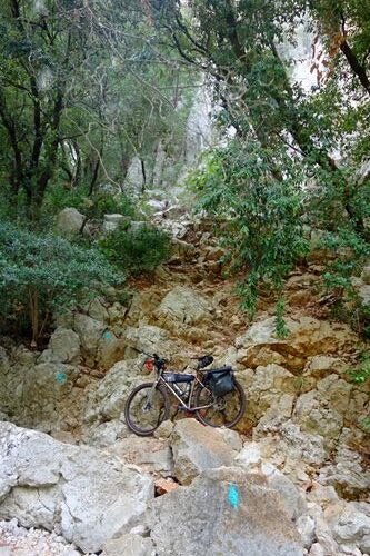
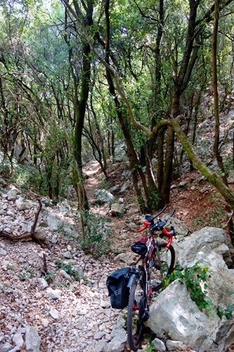
Ça arrive très rarement mais quand ça arrive … J’ai voulu tester un sentier au-dessus du lac de Le Revest-les-Eaux (très joli site !), très caillouteux, porter et pousser obligatoire et j’ai insisté même quand le sentier est devenu pierrier à passer façon Gravel-escalade, si ça avait abouti, je ne l’aurais pas regretté … J’y ai passé presque 2 heures (d’où la vitesse moyenne bine impactée par cette petite galère) et j’ai (bien) fait demi-tour quand c’est devenu vraiment trop compliqué, et j’ai bien fait car plus tard ou plus loin je suis passé juste au-dessus de cette trace pourtant balisée et ça ne donnait nulle part, à part un gros tas de caillasse nommé « l’Abîme du Cierge », plus ou bien bien nommé car à défaut de cierge (pas non plus de rocher pointé vers le ciel), il y avait un paquet de détritus type frigo, machine à laver, fauteuil, balancés là depuis la route au-dessus … J’aurais validé le truc si ça avait abouti plus à la route en surplomb mais là, ça ne l’a pas fait …
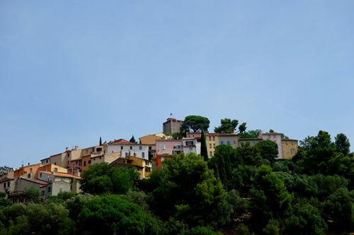
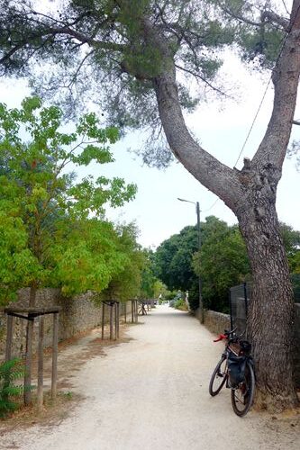
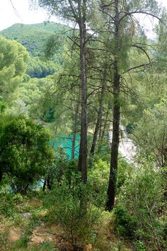
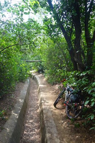
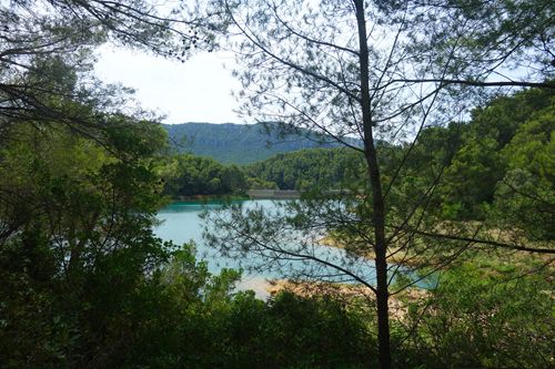
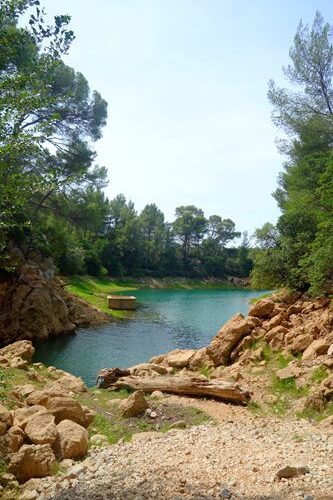
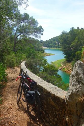
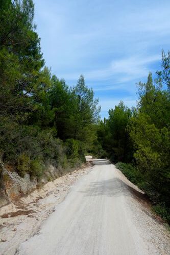
Le Revest‑les‑Eaux est un joli village perché sur son promontoire, en partie Le vieux bourg médiéval s’enroule autour d’une tour‑donjon datant du XIIIᵉ siècle, centre du castrum de « Revestetum ». Au début du XXᵉ siècle, on le surnomme « la Suisse varoise ». Le lac émeraude, formé par le barrage de Dardennes inauguré en 1912, alimente la commune et Toulon en eau potable via le Las. Église Saint‑Christophe (XVIIᵉ s.), château seigneurial, pigeonnier féodal, musée d’art sacré, maisons d’artistes ponctuent son patrimoine. Le village, très nature, organise festivités, biennale de peinture et randonnées sur sentiers balisés GR 99 et GR 51. Voilà pour la page touristique et nature … Le lac est caché dans un vallon bien encaissé, on peut en faire le tour (un court porter obligatoire en descente et en montée) en roulant dans un (ancien ?) petit canal qui en fait le tour. Par contre, on ne peut pas le quitter autrement qu’en revenant sur le village et en grimpant au-dessus par la route au revêtement incertain qui mène aux deux grandes carrières en activité sur le plateau au-dessus.
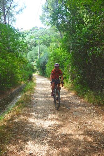
Un grand merci à Thierry, agent communal de Le Revest-les-Eaux qui m’a permis de remplir à nouveau mes deux bidons, pas de point d’eau potable sur la commune, je ne suis pas allé vérifier au cimetière. De nombreuses fontaines portent des écriteaux « eau non potable », je ne sais si c’est une volonté communale de se protéger « au cas où » ce serait vraiment justifié …
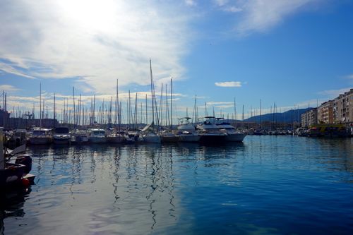
Comme j’ai passé (et perdu) beaucoup de temps dans le vallon du Cierge pour pas grand-chose (le sentier dans sa première partie est tout de même magnifique même s’il impose du pousser et du porter), j’ai changé un peu mon programme (et ça ne dérange vraiment pas) pour grimper tout de même au Coudon (700 m d’altitude tout de même pour un départ à 0 m en bord de mer) et voir ensuite, je voulais initialement aller jusqu’à la presqu’île de Giens et revenir au plus près de l’eau …
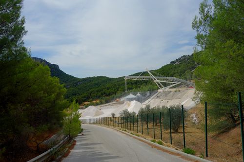
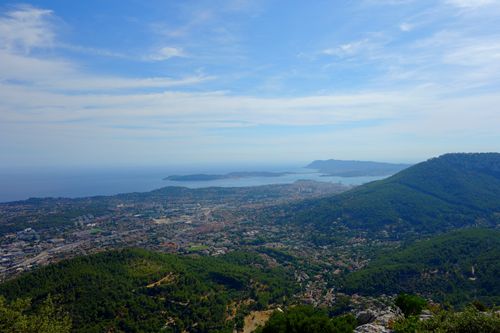
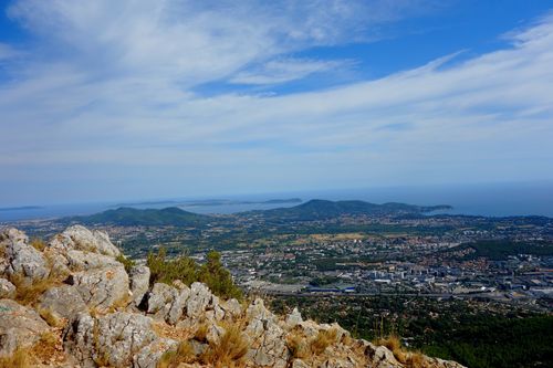
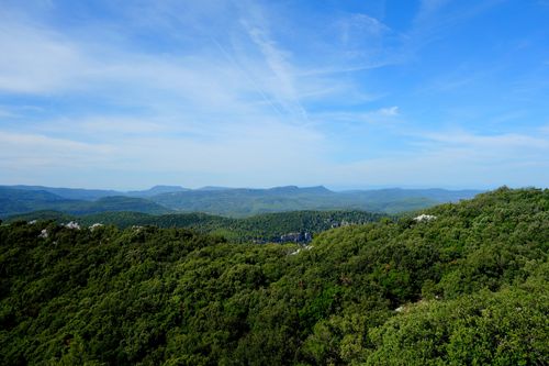
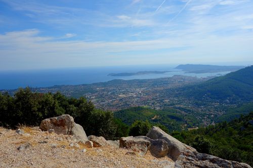
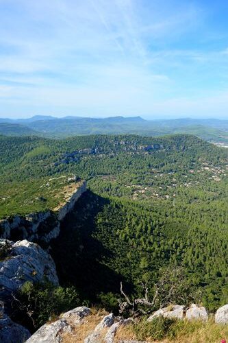
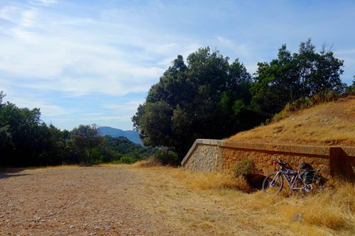
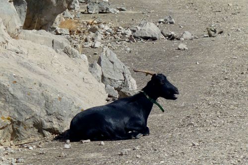
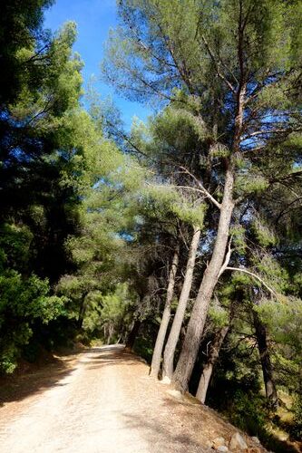
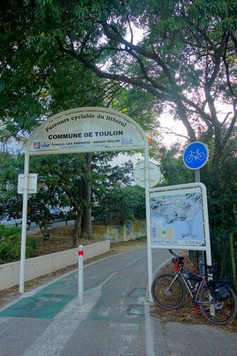
Je suis donc monté au Coudon par cette petite jolie route très peu fréquentée (le Coudon, comme un bon nombre de lieux et de secteurs dans le coin est zone militaire protégée) offrant de magnifiques vues sur la Grande Rade de Toulon, Giens et côté continent sur le Massif de Siou Blanc. J’ai suivi ensuite la piste forestière de la Grande Cabane pour descendre sur La Valette-du-Var pour récupérer ensuite le Parcours cyclable du littoral que j’avais déjà parcouru en partie en 2021 lors de mon Mare Nostrum Gravel et terminer comme à l’aller en suivant au maximum les pistes cyclables du coin. Elles sont plutôt bien faites, notamment ce Parcours cyclable du littoral très bien conçu, souvent prioritaires, par contre c’est un peu problématique au niveau des grands carrefours urbains, tu ne sais plus où aller, la cyclable peut se retrouver à gauche sans que ce soit très bien indiqué …
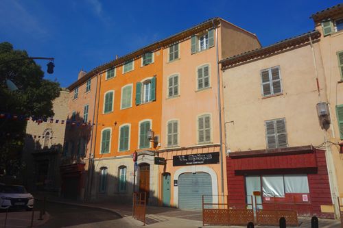
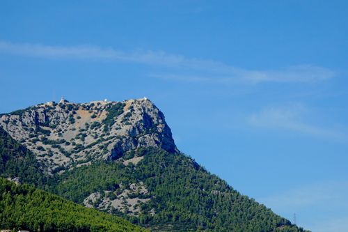
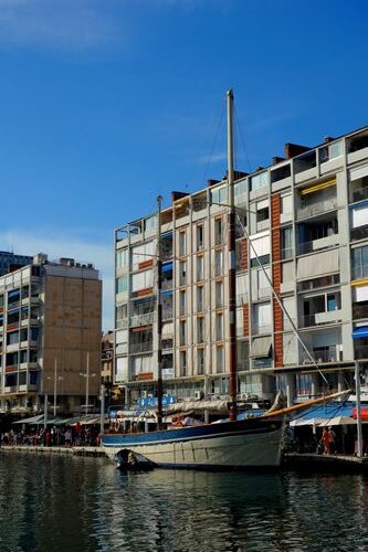
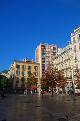
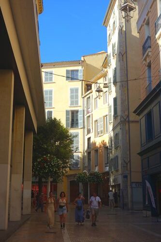
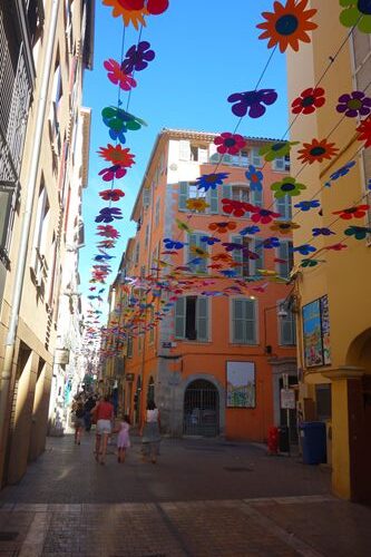
Toute petite incursion dans les rues du vieux Toulon, très pittoresque …
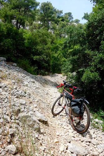
Je sais que les sentiers dans le coin peuvent être très caillouteux, notamment en montée, si vous tracez ou partez à la découverte dans les coins vers les massifs, tenez-en bien compte et privilégiez, au moins en montée, les pistes blanches sur la carte …
Photos réduites en qualité, réseau moins performant au moment de la publication …
Les traces / The tracks :
Part 1 : https://www.visugpx.com/yaNKN3kIpM
Part 2 : https://www.visugpx.com/0TgboHDgJN

It happens very rarely, but when it does … Also in french …
For those of you who follow me (thank you for your loyalty) you know that I often take advantage of my walks to leave the planned itinerary to explore when I find a track or path that goes this way or that way, I have cleaned up the track(s) to remove a section that was a bit ‘tricky’ … Once again a GPS bug or mishandle, the track is cut in two … 18 km to go up to Le Revest-les-Eaux and the rest afterwards … I am publishing the report of the complete walk on the two tracks. 75 km accumulated (less on the cleaned trail) for 1300 m of accumulated positive difference in altitude …
It happens very rarely, but when it does … I wanted to try out a path above the lake at Le Revest-les-Eaux (a very pretty spot! ), very rocky, carrying and pushing compulsory and I insisted even when the path became a scree path to be climbed like Gravel-escalade, if it had succeeded, I wouldn’t have regretted it … I spent almost 2 hours there (hence the speed average well impacted by this little problem) and I (well) turned back when it became really too complicated, and I did well because later or further I passed just above this track although marked and that led nowhere, apart from a big pile of rock called ‘l’Abîme du Cierge’, more or less aptly named because, lacking a candle (and no rock pointing skywards either), there was a load of rubbish like a fridge,washing machine, armchair, thrown there from the road above… I would have approved if it had ended up more on the overhanging road, but it didn’t do that…
Le Revest-les-Eaux is a pretty village perched on its promontory, in part The old medieval town wraps around a dungeon-tower dating from the XIIIᵉ century, the centre of the ‘Revestetum’ castrum. In the early 20th century, it was nicknamed ‘the Switzerland of the Var’. Emerald Lake, formed by the Dardennes dam inaugurated in 1912, supplies the commune and Toulon with drinking water via Las. Saint-Christophe church (17th century), seigniorial castle, feudal dovecote, museum of sacred art and artists’ houses do the village’s heritage. The village has a very natural feel and organises festivities, a biennial painting festival and walks along the GR 99 and
GR 51 signposted footpaths. So much for the tourist and nature page… The lake is hidden away in a deep-sided valley at. You can walk around it (a short, obligatory descent and ascent) on a (former?) small canal that runs all the way around. However, you can only leave it by returning to the village atand climbing above it on the uncertainly surfaced road that leads to the two large active quarries on the plateau above.
A big thank you to Thierry, the local agent for Le Revest-les-Eaux, who gave me the opportunity to refill my two water bottles. There is no drinking water point on the commune, so I didn’t go and check at the cemetery. Many of the fountains at have ‘non-drinking water’ signs on them. I don’t know whether it’s the local authorities’ desire to protect themselves ‘just in case’, or whether it’s really justified…
As I spent (and lost) a lot of time in the Vallon du Cierge for nothing much (the first part of the trail is magnificent even if you have to push and carry), I changed my programme a little (and doesn’t really bother) to climb to Coudon (700 m in altitude after starting at 0 m on the seafront) and then see,
I initially wanted to go as far as the Giens peninsula and return as close to the water as possible.
I climbed up to Le Coudon on this pretty little road (Le Coudon, like a good number of places and sectors in the area is a protected military zone) offering magnificent views over the Grande Rade of Toulon, Giens and, on the mainland, the Massif de Siou Blanc. I then followed the Grande Cabane forest track down to La Valette-du-Var to then pick up the coastal cycle route that I had already covered in part in 2021 during my Mare Nostrum Gravel and finish, as I did at on the outward journey, following the local cycle paths as far as possible. They’re pretty well designed, particularly this coastal cycle route, which is very well laid out, often has priority, but it’s a bit problematic at major urban crossroads, where you don’t know where to go, and the cycle path can end up on the left without it being very well signposted…
Just a short stroll through the streets of old Toulon, very picturesque …
I know that the paths in the area can be very stony, especially on the way up, so if you’re tracing or exploring in the corners of towards the massifs, please bear this in mind and, at least on the way up, favour the white paths on the map …
Photos reduced in quality, network less efficient at the time of publication …
Translated with DeepL.com (free version)
